english
  • the system integrates ccd cameras, ppoi (the high precision positioning and orientation instruments), gnss receiver and other sensors into one unit, which can be installed on vehicles such as cars, trains and ships. it features one-click operation and automated processing, and can be controlled, monitored, and transmitted wirelessly through wifi. it also supports cloud-based data storage and processing.
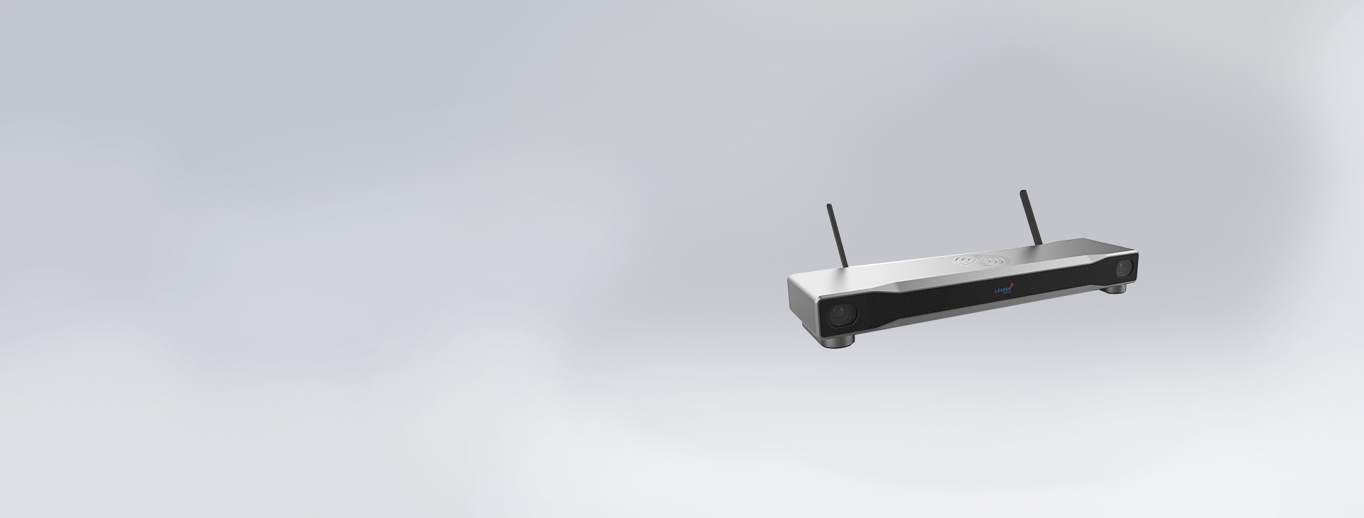
  • it allows for image stitching, dmi imaging, stereoscopic imaging browsing, and video playback, as well as 2d map browsing and 3d scene browsing. the device can be controlled, monitored, and transmitted wirelessly via wifi, and it also supports cloud-based storage and processing of data over the network.
    • it supports the collection of color images of the road and real-time location information of the mobile carrier.
    • it supports mobile monitoring, data downloading and storage.
    • supports 2d electronic and satellite basemaps
    • supports browsing and playback of collected image data
    • it supports absolute position measurement of images, as well as relative measurement of length, width, height and area.
    • it supports map and image annotation functions.
    • it supports quick installation and dismantling.
    • it is powered by the vehicle's cigarette lighter, no need to modify the vehicle.
    • 01
      powerful features
      the system has high-definition imaging and fast acquisition capabilities, with dual ccd cameras featuring 5 million pixels and support for up to 1200 pixels.
    • 02
      portable
      it is lightweight and compact and easy to install. it can be installed and removed in just 1 minute.
    • 03
      high-precision
      it is equipped with a high-precision positioning and orientation system with location accuracy of 0.5 meters.
    application value
    the system can be used for urban infrastructure management and survey, real- scene map and navigation map production, highway and railway inspection and measurement, asset surveys, real- scene geographical information collection for smart city and other application scenarios.
    performance metrics
    maximum disassembly and assembly time
    ≤10 minutes
    camera effective prime
    ≥5 million pixels
    absolute measurement accuracy
    in single-point mode, the plane ≤ 3 meters, the elevation ≤ 3 meters (the target object distance is 2-40 meters)
    base station rear differential mode≤ 0.5 m (target object distance 2-40 m)

    maximum continuous working time
    ≥5 hours
    maximum power consumption
    ≤25w
    supply voltage
    dc12v
    power supply mode
    supports on-board power supply
    device weight
    ≤5kg
    form factor
    ≤620mm x 180mm x 150mm


    environmental adaptability
    storage temperature
    -20℃~ 55℃
    operating temperature
    -10℃~ 50℃
    relative humidity
    humidity≤93%±3%(25℃)
    protection level
    ip65
    vibration
    automotive-grade electronic product standards
    road conditions
    it can be used on urban highways and suburban roads
    working vehicle speed
    ≤80 km / h

    thank you for your interest in polaroid hd map service, please fill in the purchase requirements so that we can contact you faster and want to know more, please send an email to [email protected]
    • name:
    • telephone:
    • e-mail:
    • affiliated:
    • product:
    • purchase:
    网站地图